
Since World War II, the Los Angeles aerospace industry has been a leader in the development of remote sensing technologies—those that gather information without physical contact between the observer and the observed. Remote Sensing: Explorations into the Art of Detection investigates cultural and aesthetic responses to technologies that demonstrate an outsized but sometimes hidden impact on daily life, global conflict, and civil liberties. The exhibition spans two sites, the Center’s Los Angeles facility (CLUI LA) in downtown Culver City, and the Center’s Desert Research Station (DRS) in the Mojave Desert. The DRS serves as the remote location, operating in the arena of field research, test, and evaluation of remote sensing phenomenology, and includes creative and experimental R&D projects on its grounds. The Los Angeles location is the urban collection point, processing information and data from the field and interpreting it for the public.
Part One: Southern California Aerospace
CLUI Los Angeles
Sep.13, 2024 - Apr. 13, 2025
Part Two: Remote Sensing in the Field
CLUI Desert Research Station
Jan. 18 - Feb. 16, 2025
"Billboard along Highway 14 in the Antelope Valley, north of Los Angeles, California," 2022, Center for Land Use Interpretation. Digital photograph. Courtesy of the Center for Land Use Interpretation. ©Center for Land Use Interpretation.
Center for Land Use Interpretation
9331 Venice Boulevard, Los Angeles
FRI-SUN:12pm-5pm
MON-THU:CLOSED
Center for Land Use Interpretation Desert Research Station (DRS)
40083 Hinkley Road, Hinkley
Jan.18-Feb.16, 2025
Sat-Sun:10am-5pm
Mon-Fri:Closed
Locations
02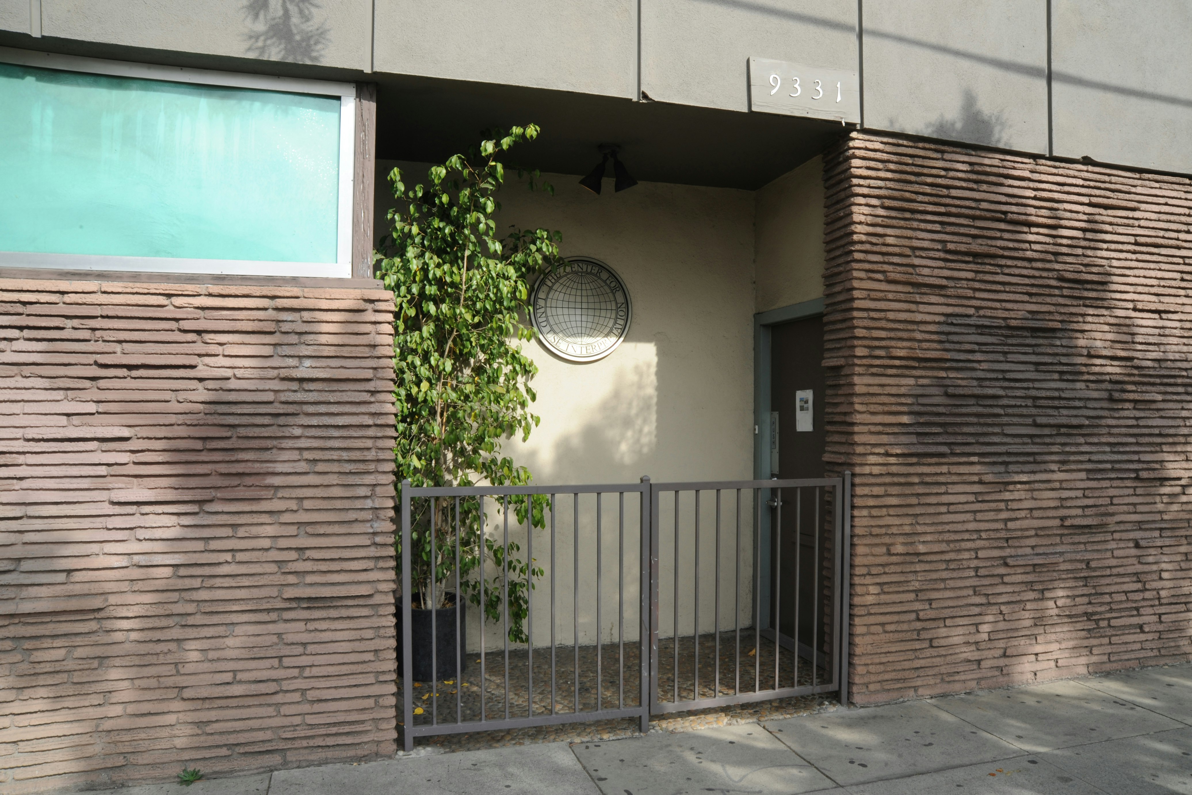

Jan.18-Feb.16, 2025
Sat-Sun:10am-5pm
Mon-Fri:Closed
Jan.18-Feb.16, 2025
Sat-Sun:10am-5pm
Mon-Fri:Closed